Ukraine
All maps
Strelbickiy
RKKA
•
USSR
•
TopoMap
На
русском
All regional maps
Most popular
Thematic maps
Ukraine
All maps
Most popular
Latitude:
Longitude:
Latitude:
Longitude:
Y
andex
+
G
oogle
+
O
ther
Small view
Additional map
Mark color:
Upload placemarks from a waypoint file:
Поддерживаются форматы
.wpt .pnt .gpx .kml
Максимальное число импортируемых точек: 5000
Save all placemarks to waypoint file:
Name ↔ Desc.
Double-click placemark to delete it.
Delete
all placemarks
You don't have any placemarks.
My placemarks
Go to the placemark's parent map / Placemark description
Go to
location
Look at this place on the maps:
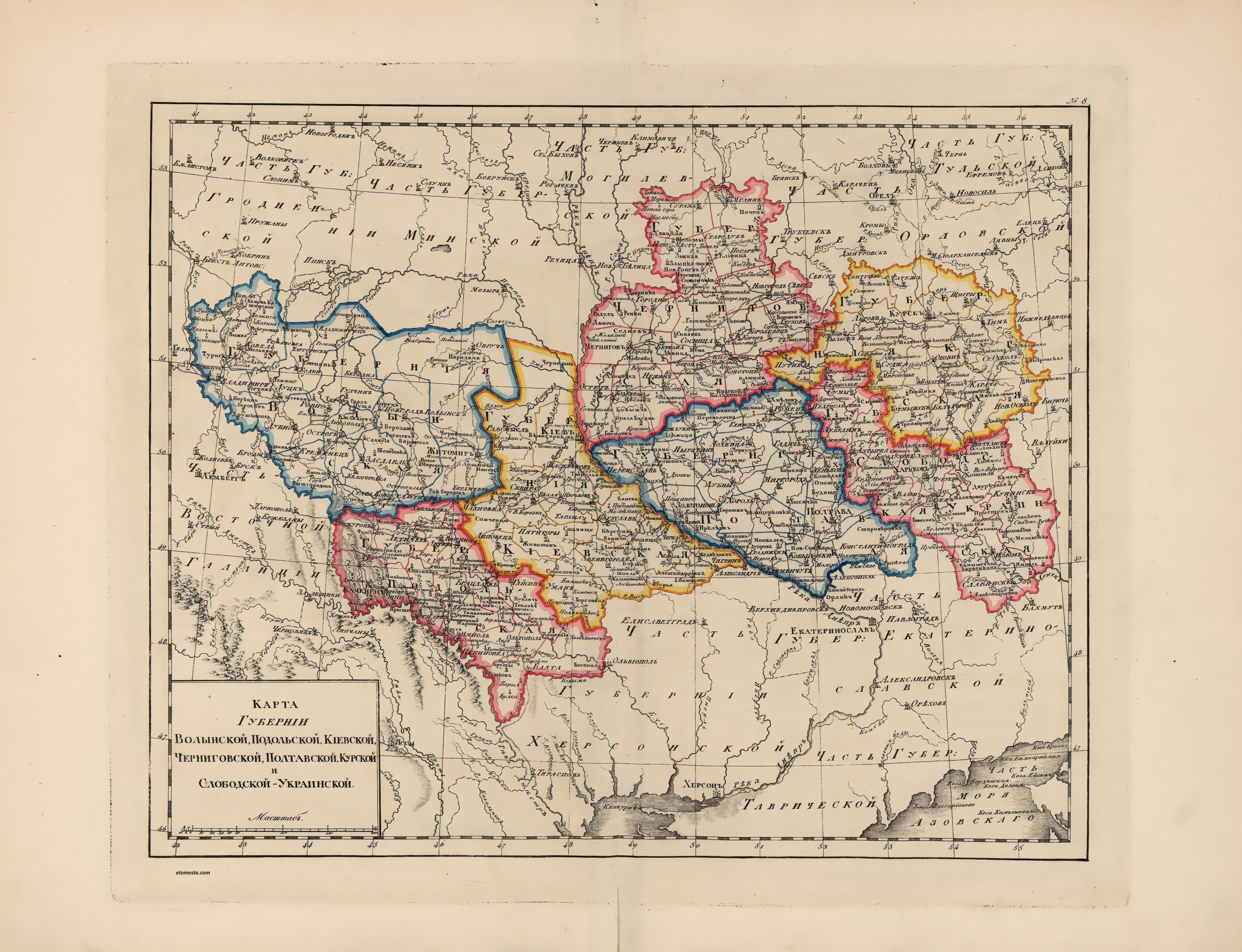
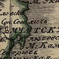
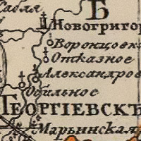
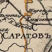
Map of the central Ukrainian provinces from the atlas of the Russian Empire for gymnasiums
1807
Multiple maps
One
Chronology
accurate:
Link to this place
European and nearby countries:
Albania
Andorra
Armenia
Austria
Azerbaijan
Belarus
Belgium
Bosnia and Herzegovina
Bulgaria
Croatia
Cyprus
Czech Republic
Denmark
Estonia
Finland
France
Georgia
Germany
Greece
Hungary
Iceland
Ireland
Italy
Kazakhstan
Kyrgyzstan
Latvia
Liechtenstein
Lithuania
Luxembourg
Malta
Moldova
Monaco
Montenegro
Netherlands
North Macedonia
Norway
Poland
Portugal
Romania
Russia
San Marino
Serbia
Slovakia
Slovenia
Spain
Sweden
Switzerland
Tajikistan
Turkmenistan
Ukraine
United Kingdom
Uzbekistan
Information about map
Date:
1807
Type:
Overview map
Map size:
3600x2800 px
Coverage area:
From West to East: 1263.2 km From North to South: 1100.3 km Square: 1389910.5 km
2
Scale:
100 pixels represents:
35089 m
Download:
kiev-1807.jpg
5140 x 3940
4.61
Mb
Related maps:
Map of the center and the upper Volga region from the Russian Empire atlas for gymnasiums
Map of the north-west from the Russian Empire atlas for gymnasiums
Map of the North from the Russian Empire atlas for gymnasiums
Map of the Far East from the atlas of the Russian Empire for gymnasiums
Map of the Caucasus from the Russian Empire atlas for gymnasiums
Map of the middle Volga region from the Russian Empire atlas for gymnasiums
Map of the southern provinces and Crimea from the atlas of the Russian Empire for gymnasiums
Map of the central provinces from the atlas of the Russian Empire for gymnasiums
Map of the southern Volga region from the Russian Empire atlas for gymnasiums
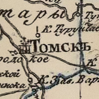
Map of the Tobolsk and Tomsk provinces from the atlas of the Russian Empire for gymnasiums